
Antique Maps Wall Art
Premium matte canvas, made to order and delivered ready to hang.
- High Quality Prints
- Easy to Hang
- Durable

Antique World Map Engraving Wall Art & Canvas Print
$141.23
Minimal Horse Silhouette Under Red Maple Wall Art & Canvas Print
$141.23
Lion Under Red Maple Zen Composition Wall Art & Canvas Print
$141.23
Vintage World Map Wash Wall Art & Canvas Print
$141.23
Celestial Topographic Map & Moon Phases Wall Art & Canvas Print
$141.23
Vintage Nautical Map Ocean Composition Wall Art & Canvas Print
$141.23
Vintage French Quarter Collage Composition Wall Art & Canvas Print
$141.23
New Orleans Wooden Map Relief Wall Art & Canvas Print
$141.23
Greenwich Village Illustrated Map Wall Art & Canvas Print
$141.23
Manhattan Illustrated Map Composition Wall Art & Canvas Print
$141.23
Laser-Cut City Map Relief Wall Art & Canvas Print
$141.23
Mixed-Media Feminine Portrait Collage Wall Art & Canvas Print
$141.23
Wooden Beer Cap USA Map Wall Art & Canvas Print
$141.23
Dark Academia Santa Library Wall Art & Canvas Print
$141.23
Vintage California Topographic Map Wall Art & Canvas Print
$141.23
California Hydrological Map Wall Art & Canvas Print
$141.23
California Hydrological Watershed Map Wall Art & Canvas Print
$141.23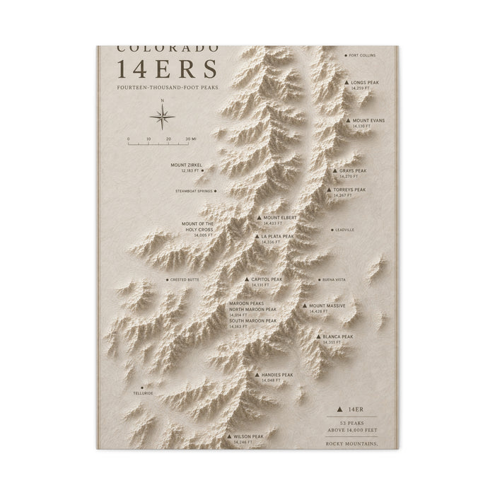
Colorado 14ers Relief Map Wall Art & Canvas Print
$141.23
Interactive Stadium Tracker Map Sports Wall Art & Canvas Print
$141.23
Topographic Stadium Map Sports Wall Art & Canvas Print
$141.23
Antique Celestial Cartography Map Wall Art & Canvas Print
$141.23Antique Maps Wall Art
Most old charts were drawn wider than they are tall, and that is the shape to shop for first. World maps, coastal surveys and county plans carry their information sideways, and forcing one into an upright format usually means losing the decorated title block, the scale bar and the margin illustration that gave the thing its character. If the only free wall you have is a narrow strip between two doors, go for a single country or a city plan instead of a hemisphere — those sit happily upright, because the land itself runs north to south.
Colour decides whether it reads as aged or merely brown. Period paper reads as warm buff and faded ochre, with ink that has softened to brown rather than sitting black on the page. Reproductions that push the sepia too far turn orange under evening bulbs. Hold the image up beside your floorboards or a wooden door: if the map is browner than the wood, the two will argue rather than agree.
Detail sets the viewing distance. A dense engraving with hatched seas and hundreds of place names rewards someone standing close, so it belongs in a hallway, a study or above a desk where people pass within arm's reach. A bolder chart with big ocean areas and few labels holds up from across a room. Hanging the dense one high above a stairwell wastes most of what you paid for.
Pairing is straightforward if you keep the palette narrow. Old maps sit well with brass, dark timber and leather, and look uneasy beside cool grey-blue photography or high-gloss white. Two or three maps of the same region at different dates make a far better group than a scattering of unrelated countries.
One last thing worth weighing: a map holds attention in proportion to your connection with the ground it shows. A chart of a coast you have sailed or a county you grew up in stays interesting on the thousandth pass, because you keep finding names you know. A handsome map of somewhere you have never been is decoration, and it goes quiet after a fortnight.